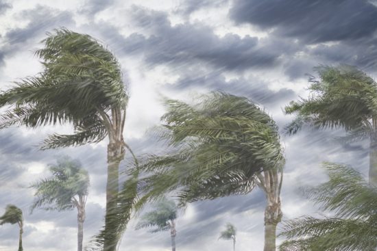

Hurricane Hanna made landfall at 6PM EDT (22 UTC) today on the southern coast of Texas over Padre Island, 15 miles north of Port Mansfield. Maximum sustained winds at landfall were 90 mph, a category-1 on the Saffir-Simpson Scale, according to National Hurricane Center (NHC) advisories. Since yesterday evening, Hanna underwent rapid intensification over very warm waters, despite wind shear and land interaction, gaining strength from 50 mph to 90 mph over a 24 hour period.
Landfall Status (NHC)
Landfall Time: 6 PM EDT, 22 UTC July 25
Maximum Sustained Winds: 90 mph Minimum Central Pressure: 973 mb
Motion: west-southwest at 8 mph
Location: Padre Island, about 15 miles north of Port Mansfield, Texas
Status: Strong Category-1
Hurricane Extent of Hurricane-Force Winds from Center: 30 miles
Extent of Tropical-Storm-Force Winds from Center: 90 miles

Satellite Loop (Infrared) Of Hanna Making Landfall. Source: TropicalTidbits.com. Heavy rain bands are concentrated over portions of southern Texas and northern Mexico, to bring an escalating threat for flooding and flash-flooding. Hurricane winds remain an ongoing threat, along with a potential for tornadoes. In the meantime initial media reports indicate considerable wind damage for portions of Port Mansfield, Texas. Seawater inundation due to storm surge with damaging surf remains an ongoing threat for coastal areas and adjacent waterways.
Updates and Useful Links
U.S. National Hurricane Center
Official statements from the NHC and U.S. National Weather Service, and those of emergency management agencies supersede this update, and should be closely monitored concerning matters of personal safety.