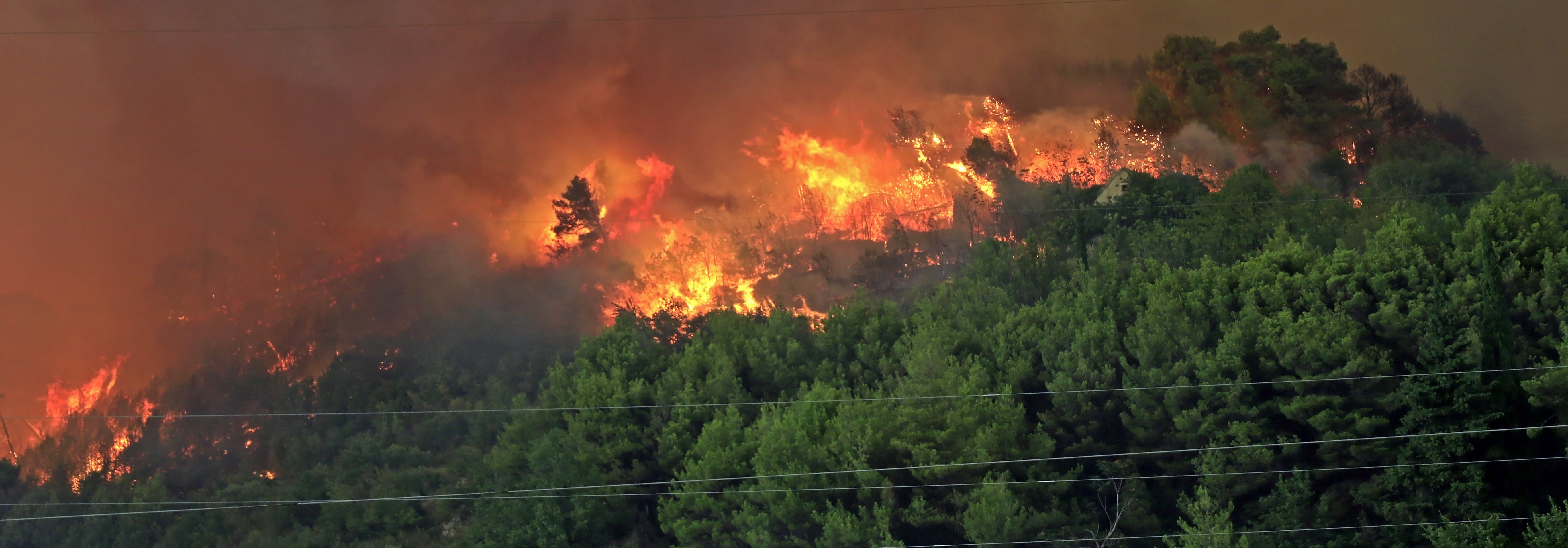

As the historic wildfire situation in Los Angeles continues to evolve, the Eaton and Palisades fires are likely the second- and fourth-most-destructive in California history.
According to CalFire, more than 15,000 fire personnel are actively responding, with additional resources pre-positioned ahead of the Particularly Dangerous Situation Red Flag warnings expected through Wednesday.
Minimal fire activity was observed overnight, outside of pockets of flareups in areas of unburned fuels. Firefighters are facing challenging conditions today, as strong winds impact the area under dry conditions and could generate extreme fire behavior in existing smoldering hotspots and fresh ignitions.

Current Fire Statistics
- Palisades Fire: The largest, burning over 23,700 acres with 17% containment, has officially destroyed 1,280 structures (estimated 5,000+) and displaced thousands.
- Eaton Fire: Covering 14,117 acres with 35% containment, it has heavily impacted Altadena and Pasadena, with an estimated 7,000 structures lost.
- Hurst Fire: Smaller but destructive, burning 779 acres with 97% containment.
- Auto Fire: Ignited Monday night in Ventura County under strong wind conditions; prompt firefighting response limited it to 56 acres and no structures lost.
Over 180,000 residents are evacuated, with at least 24 fatalities reported so far.

Wind Forecast
According to the National Weather Service, the strongest wind gusts since Monday evening have been:
- Magic Mountain: 72 mph
- Mill Creek: 62 mph
- Sandstone Peak: 60 mph
- Chilao: 60 mph
- Palo Sola: 55 mph
The communities of the San Fernando Valley to Ventura and east to Altadena are under a Particularly Dangerous Situation Red Flag Warning through Wednesday.
Due to the more easterly component of the wind, much of Ventura County will likely have stronger winds than the offshore wind events this past week. The area around the Palisades Fires is under a Red Flag Warning.
Peak winds for this Santa Ana wind event will be less than last week. However, they will still be strong enough to potentially cause explosive fire growth, according to the National Weather Service.
A cooling trend with higher humidities is expected beginning Thursday and lasting through the weekend.

Please see yesterday’s CAT Resource Center Post for a full discussion on the science of Santa Ana Wind Events, as well as a discussion of current fire impacts.
Additional links of interest:
National Interagency Fire Center
SPC Fire Weather Outlook
CalFire
NWS Los Angeles