
Rare Southern Winter Storm
- A rare winter storm is expected to affect areas from Southern Texas into the Carolinas through tomorrow.
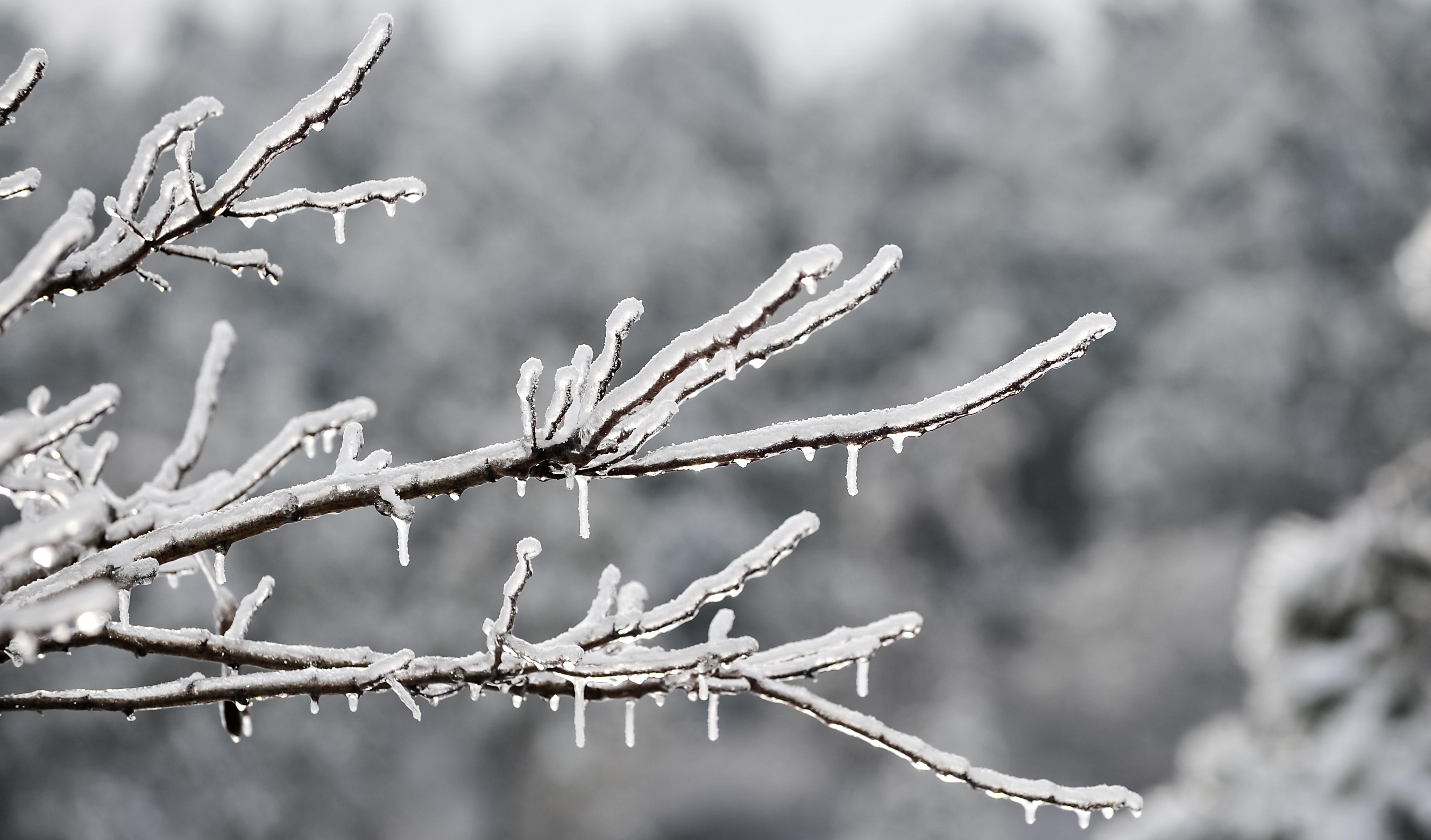
- The storm, unofficially named “Enzo” by the Weather Channel, is expected to bring crippling snow and freezing rain along and south of the I-20 corridor and into the Carolinas, along with extreme cold from an Arctic outbreak covering most of the interior and East Coast.

- General snowfall amounts of 1-3 inches will affect the Gulf Coast states and Carolinas, with heavier amounts of 4-6 inches from the Houston Metro area to Southern Georgia and approaching 8 inches in Southern Louisiana. These snowfall amounts could exceed records in certain locations.
- Areas of freezing rain are also possible for areas of Northern Florida and Southern Georgia.
- These winter weather conditions will occur together with exceptional cold as Arctic air reaches the Gulf Coast from the interior.
- Winter storm and blizzard warnings are active for areas under threat per the US National Weather Service (NWS: www.weather.gov).


Expected Impacts
- Snow is very rare in the affected areas, and snow management resources are very limited. Severe transportation disruption is likely for roads, rail and air travel. Many airports have closed due to reduced visibility and limited snow clearing capability. Certain affected Interstates have also been closed including those in the New Orleans Metro area.
- Freezing rain in North Florida and South Georgia will be crippling for transportation routes together with the threat for downed trees and powerlines.
- Power outages from both freezing rain and heavy snow can be expected. This, together with temperatures well below freezing, will amplify the threat for pipe fracture and resulting water damage.
- For areas of the interior, the extreme Arctic cold could bring infrastructure under strain even for those areas hardened to winter weather.
California Wildfire Threat Continues
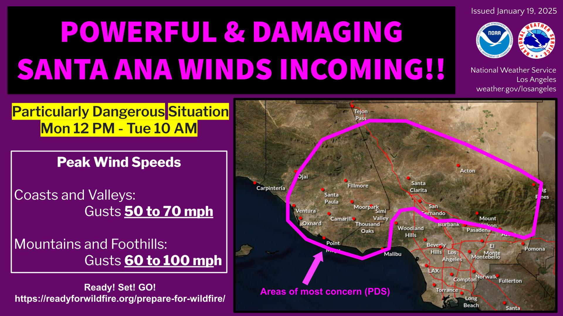
- Dry, gusty northeasterly winds have affected southern California overnight and are expected to continue today through at least 10AM local time for Los Angeles and surrounding areas.
- "Particularly Dangerous Situation" Red Flag Warnings are active for dry wind gusts up to 100 mph for the mountains and foothills, and up to 70 mph for lower elevations as Santa Ana conditions continue. This will enable extreme fire spread from existing fires and fresh ignitions (including from ember transport). An air quality alert also remains in place, per the NWS.
- Winds may relax later today but another Santa Ana wind burst is expected by the NWS for Wednesday night into Thursday (although with lesser severity).
- Winds should relax Friday, with an onshore flow developing late Friday into Saturday, bringing moisture to the region and reducing the threat of fire spread. This should aid with fire suppression and containment efforts. Some showers are possible in the area later Saturday into Sunday, and while this will be a benefit to fire suppression, it could bring the threat for mud and debris flows from affected areas if the showers produce high rainfall rates.
- Specifics can be found at www.weather.gov (type in ZIP code) and fire.ca.gov.
 Santa Ana wind threat statement and PDF Red Flag Warning area. Source: NOAA/NWS.
Eaton Fire
- 9,418 structures lost, 1,069 structures damaged and 6,775 remain under threat
- Evacuations remain active
- 17 fatalities
- 89% contained
- 14,021 acres burned
Palisades Fire
- 6,380 structures lost, 857 structures damaged and 12,280 structures remain under threat
- Evacuations remain active and authorities are assessing site safety for lifting of evacuation orders
- 11 fatalities
- 63% contained
- 23,713 acres burned
3 new fires also started north of San Diego near the I-15 corridor:
- The Pala fire ignited overnight and forward progress has been stopped.
- The Lilac and Lilac 2 fires started overnight. The Lilac fire remains active with evacuation orders in place.
Additional links of interest:
U.S. Weather Prediction Center
U.S. National Weather Service
Cal Fire